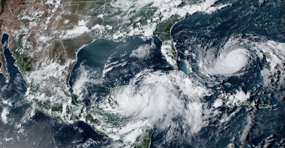
Tropical Storm Idalia was expected to intensify into a major hurricane on Monday as it barrelled towards Florida's Gulf Coast, where authorities urged millions of residents to prepare to evacuate ahead of an expected landfall early Wednesday morning.
Idalia, with maximum sustained winds of 105 kph, was churning in the Caribbean on Monday about 145 kilometres off Western Cuba, moving north at 13 km/h, the National Hurricane Center said in an advisory at 7.00 a.m. EDT.
The storm's growing intensity and its current northerly track put some 20 million Floridians under hurricane and tropical storm watches.
Idalia is predicted to be Category 3 on the Saffir-Simpson Hurricane Wind Scale when it makes landfall in northern Florida's Big Bend area, where the panhandle transitions into the peninsula, the hurricane center said.
"All Floridians, you need to be executing your plans," Florida Governor Ron DeSantis said during a news conference on Monday. "This is going to be a major hurricane. This is going to be a powerful hurricane and this is absolutely going to impact the state of Florida."
Local officials along the state's Gulf Coast were preparing to issue evacuation orders on Monday, DeSantis said, noting that Floridians in the area should prepare to lose power.
"Keep in mind, if you are told to evacuate, you do not need to drive hundreds of miles, you do not need to leave the state of Florida. You basically need to go to higher ground," he said, adding that many school districts were also planning to cancel classes.
By Tuesday, Florida's Gulf Coast, southeast Georgia and the eastern North and South Carolina should expect torrential rains of 10 to 20 cm that could cause scattered flash and urban flooding to begin.
Along with the heavy rain, winds of more than 177 km/h could result in life-threatening storm surge, the centre warned.


 Israeli missile hits Gaza children collecting water, IDF blames malfunction
 North Korean leader Kim reaffirms support for Russia in Ukraine conflict
 Air India crash report shows pilot confusion over engine switch movement
 Trump visits Texas flood zone, defends government's response


