


A project to map agricultural areas in the UAE using drones has completed its first two phases.
The initiative, covering various emirates, has surveyed around 1,100 square km of land so far.
Dr. Thani bin Ahmed Al Zeyoudi, Minister of Climate Change and Environment, provided a detailed overview of the project results to His Highness Sheikh Mohammed bin Rashid Al Maktoum, Vice President and Prime Minister and Ruler of Dubai.
The data is being used to monitor crops and help farmers boost productivity. It will also help authorities assess the impact of climate change on the agricultural sector.
''The initiative, once completed, will place the UAE among the top five countries in the world in terms of the area surveyed using unmanned aerial vehicles, and the first to employ this technology to map as many categories of statistical data," said Dr. Al Zeyoudi.
Aimed at facilitating the planning of future agricultural support services, the scheme will provide a wealth of raw data for analysis, such as the number and size of the crop, livestock, and mixed farms as well as cooled and regular greenhouses, soil type and condition, crop diseases, and irrigation methods.


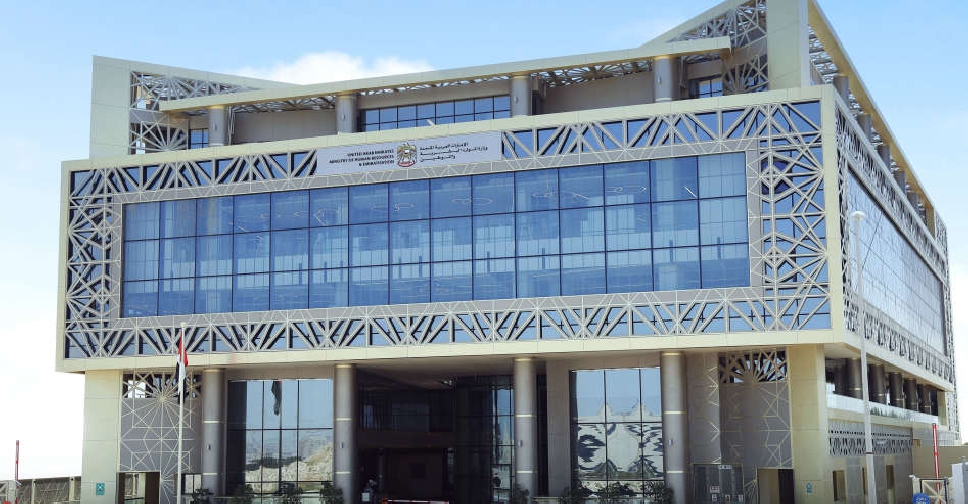 UAE ministry urges remote work for private sector in weather-hit areas
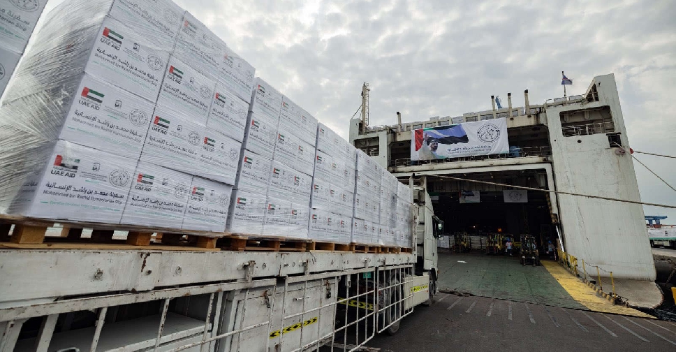 UAE completes loading aid ship with 10 million meals for Gaza
 Dubai declares remote work for govt. staff, private sector urged to follow suit
 Dubai carriers issue travel advisory amid fluctuating weather
 Dubai Police fully prepared for weather-related emergencies
 Dubai public parks, beaches closed for two days
 More rain forecast in Dubai for late Thursday, says NCM
 UAE issues federal decree-law establishing National Media Authority