

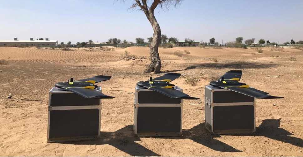
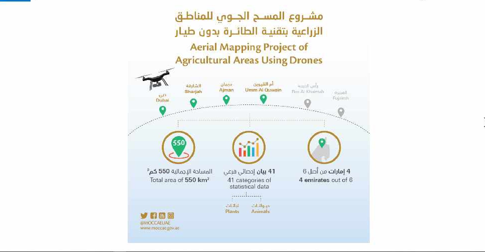
A project to map agricultural areas in the UAE using drones has completed its first phase.
It’s captured around 550 square kilometres of land across Dubai, Sharjah, Ajman, and Umm Al Quwain so far.
The Ministry of Climate Change and Environment will use the data to monitor crops and help farmers with forward planning.
Agricultural areas in Fujairah and Ras Al Khaimah will be mapped in the project's second phase later this year.

 Dubai Humanitarian sends third aid airlift to support Ebola response
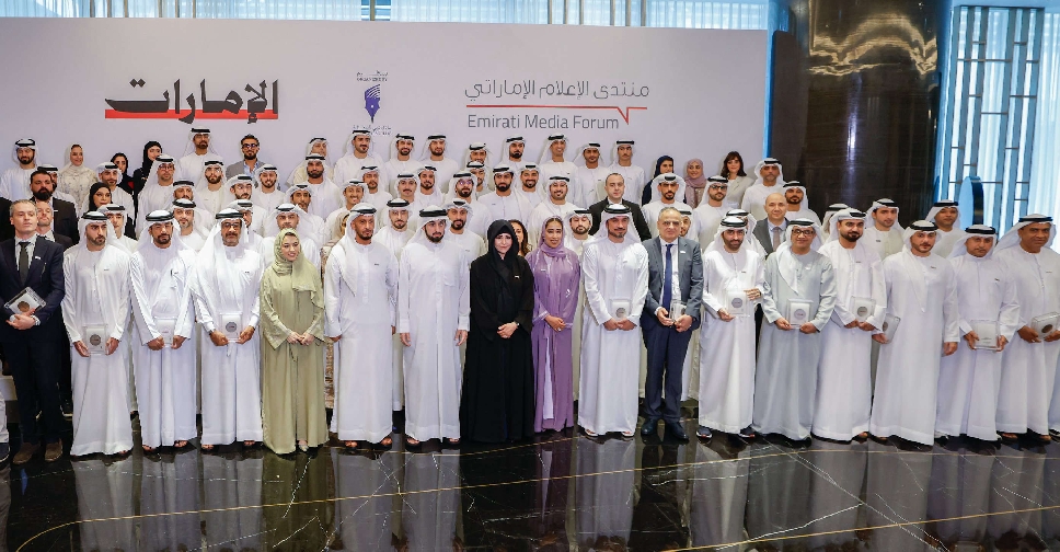 H.H. Sheikh Ahmed honours media leaders for building trust, responsible coverage
 Sharjah Ruler issues law regulating drone operations
 ദുബായ് ബസ്, മെട്രോ സ്റ്റേഷനുകളിൽ ഡെലിവറി യാത്രക്കാർക്ക് വിശ്രമ കേന്ദ്രങ്ങൾ
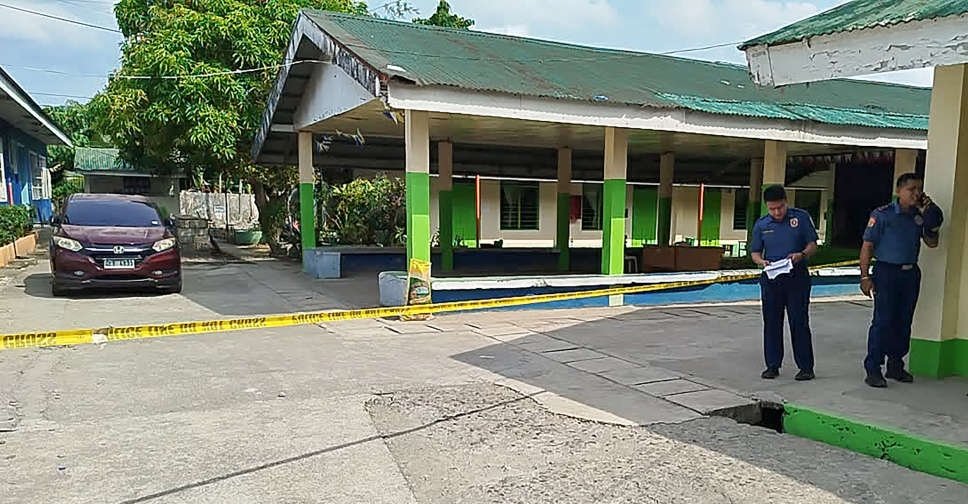 UAE strongly condemns school shooting in Philippines
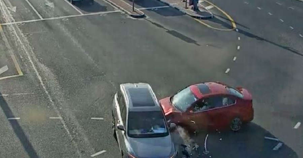 4 killed due to red light violations in Dubai since start of 2026