

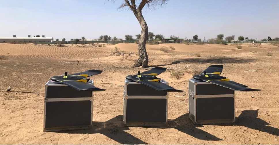
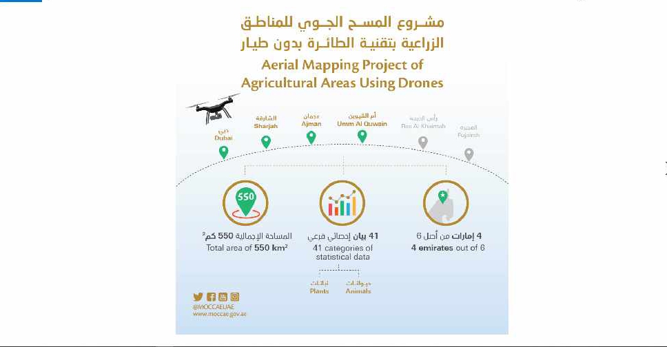
A project to map agricultural areas in the UAE using drones has completed its first phase.
It’s captured around 550 square kilometres of land across Dubai, Sharjah, Ajman, and Umm Al Quwain so far.
The Ministry of Climate Change and Environment will use the data to monitor crops and help farmers with forward planning.
Agricultural areas in Fujairah and Ras Al Khaimah will be mapped in the project's second phase later this year.

 ഗാസയിലേക്ക് വീണ്ടും യു എ ഇ സഹായം
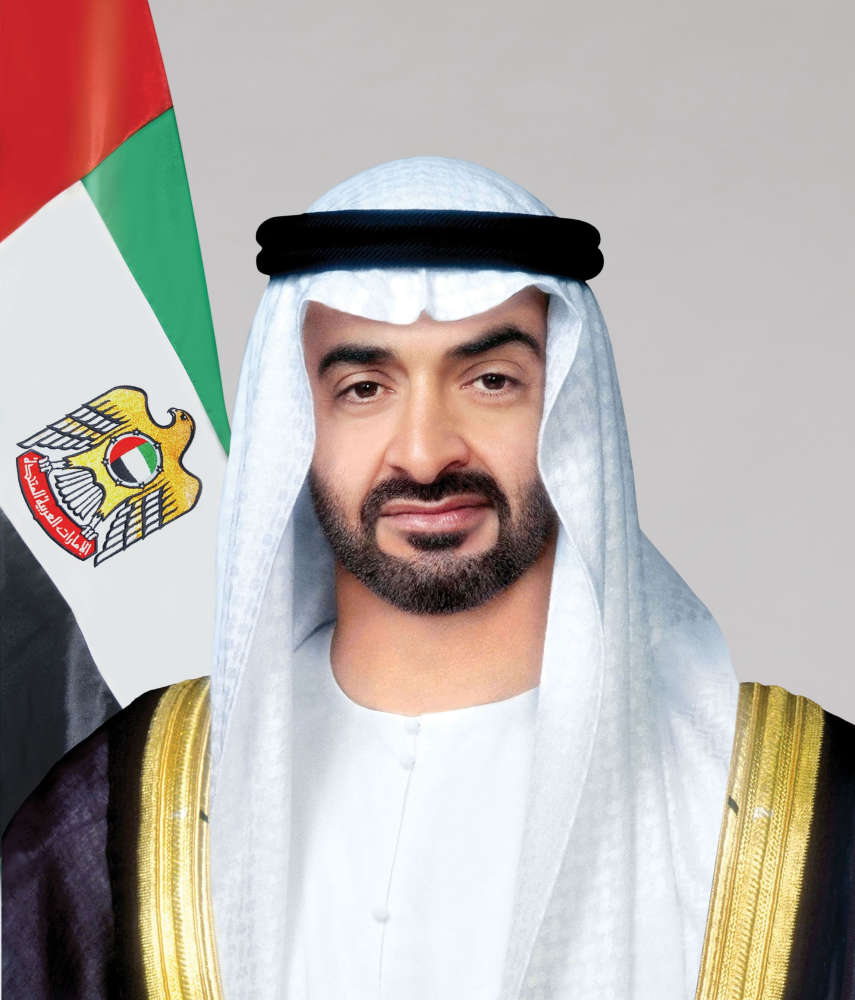
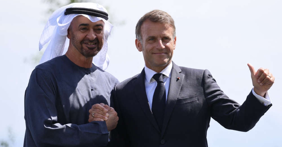 UAE President, France's Macron discuss regional developments during G7 Summit
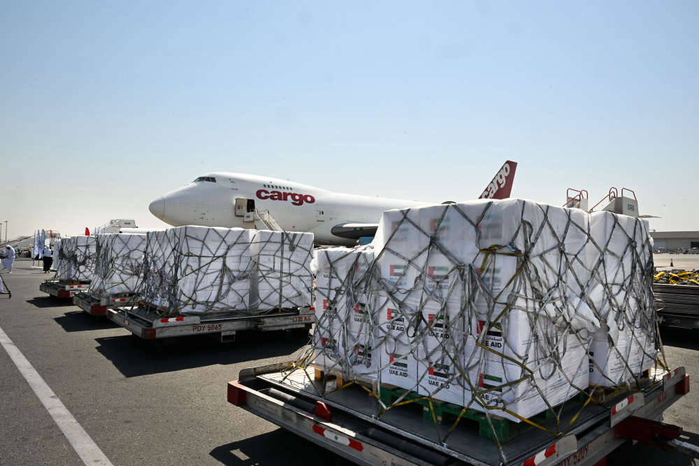
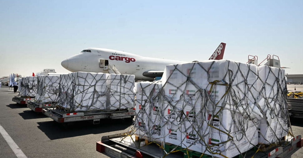 Another aid aircraft for Gaza departs UAE
 ജി7 ഉച്ചകോടിയിൽ പങ്കെടുക്കാൻ യുഎഇ പ്രസിഡന്റ് ഫ്രാൻസിൽ
 അറബ് റീഡിങ് ചലഞ്ചിൽ റെക്കോർഡ് പങ്കാളിത്തം; ഈജിപ്തിന് ഷെയ്ഖ് മുഹമ്മദിന്റെ അഭിനന്ദനം
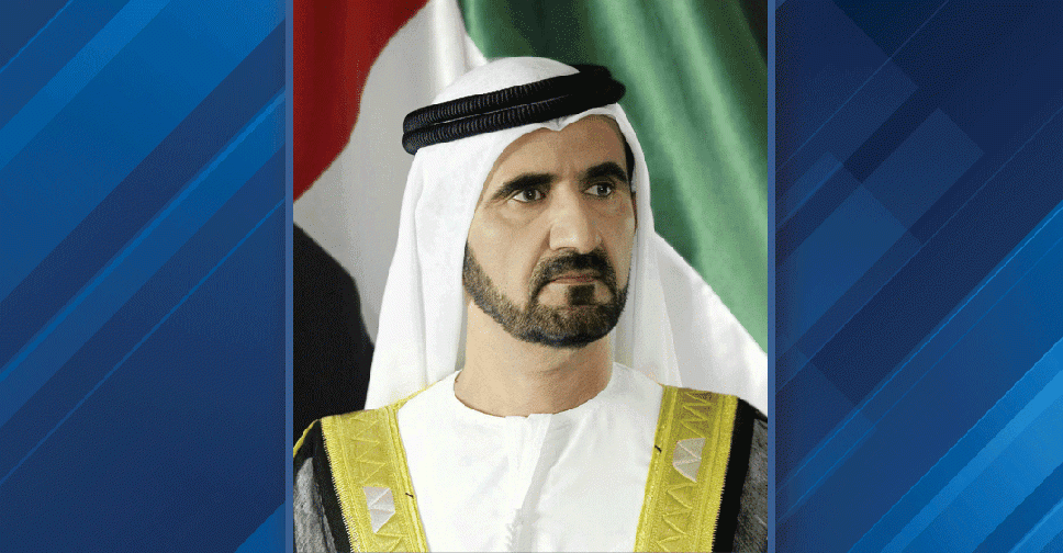
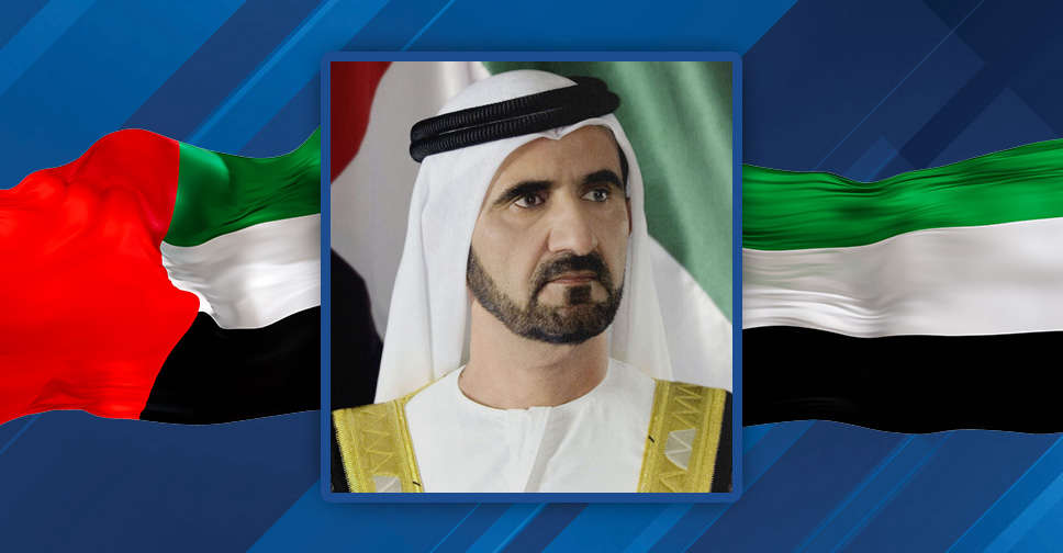 Dubai Ruler praises record Egyptian readers in Arab challenge
 UAE leaders mark Hijri New Year with messages of optimism and prosperity
 ഹത്തയിലെ മലനിരകളിൽ കുടുങ്ങിയ ഹൈക്കറെ രക്ഷപ്പെടുത്തി ദുബായ് പോലീസ്