


The UAE has completed the trial phase of a project to map agricultural areas using drones.
It's been helping the authorities collect data on farms and greenhouses in the country, as well as livestock population and soil type.
The Ministry of Climate Change and Environment (MOCCAE) is also using the technology to monitor crops and help farmers with forward planning.
The project's pilot phase between August and December in 2018, involved remote sensing and aerial imagery of Wadi Al-aim in Ras Al Khaimah.

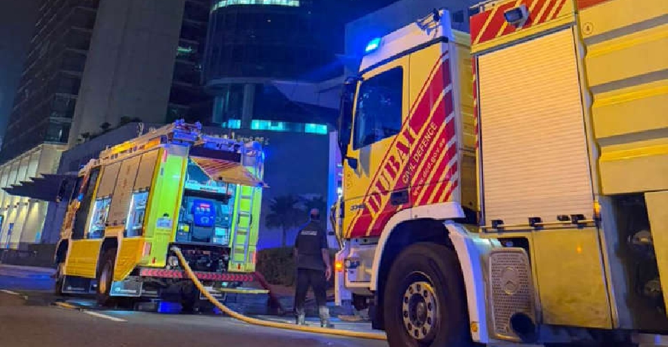 No injuries after building fire on Dubai's Sheikh Zayed Road contained
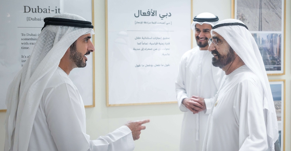 'Dubai-it' initiative to embed Dubai’s work philosophy across generations
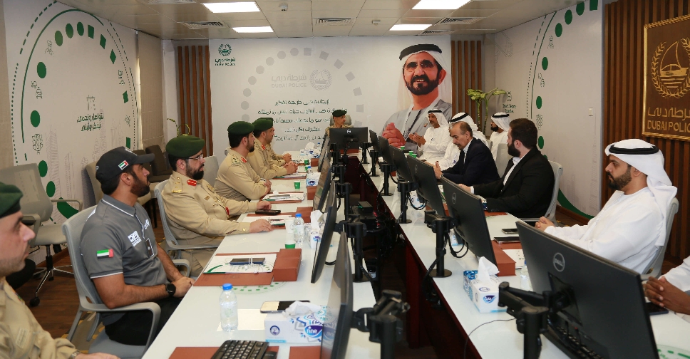 Dubai Police, RTA discuss measures to reduce heavy vehicle accidents
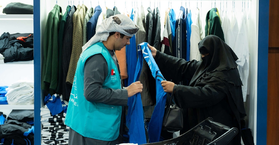 Dubai Holding's 'Gift It Forward' distributes repurposed items worth AED 22 million
 UAE President calls for stronger global cooperation at G7 Summit
 Abu Dhabi offers 'innovative' precision therapy to treat advanced breast cancer
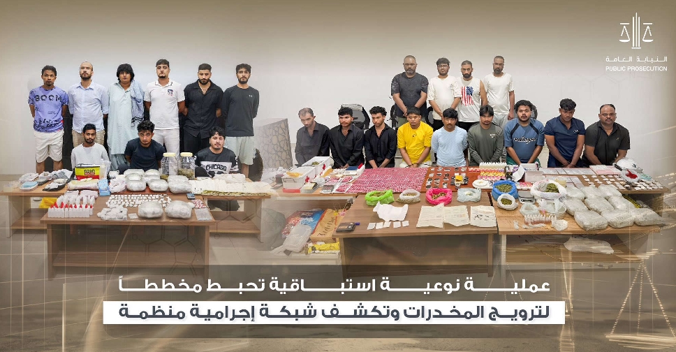 UAE foils drug distribution plot, dismantles criminal network
 Sharjah unveils projects worth AED750 million for direct road links to Dubai