

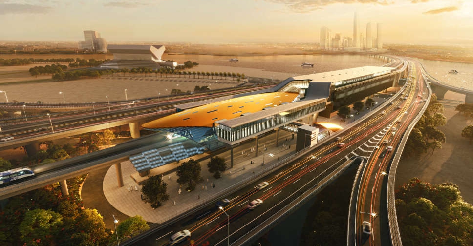
Road and Transport Authority (RTA) has outlined the route map for Dubai Metro's Blue Line that will connect 14 stations, of which five will be elevated, four underground, two "future elevated" and one underground interchange.
In a video post on X platform, RTA also revealed that the line will cover 14.5 km over ground and 15.5 km under ground.
Set to open in 2029, the Blue Line aims to hold a capacity exceeding 320,000 passengers per day.
إليك خريطة مسار الخط الأزرق لـ #مترو_دبي، من #هيئة_الطرق_و_المواصلات، المشروع الذي سيربط عند افتتاحه عام 2029، بين 14 محطة هامة حول دبي، بينها محطات علوية ومحطات تحت مستوى الأرض، بقدرة استيعابية تتجاوز 350 ألف راكب يومياً. يساهم المشروع في تحقيق أعلى تكامل لشبكة المترو، إلى جانب… pic.twitter.com/16ZBxU83Md
— RTA (@rta_dubai) December 14, 2025
Covering 11,000 square metres alone, the completion of the Blue Line will expand Dubai’s rail network to a total of 131 km, with a combined 78 stations and 168 trains available in Dubai.
The project is part of Dubai's 2040 Urban Master Plan, which aims to connect areas expected to be home to more than one million residents.

 UAE condemns attacks in Ethiopia, urges de-escalation
 UAE strengthens focus on early childhood, family wellbeing
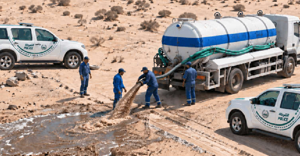 17 tanks seized in Dubai for illegal waste disposal in first half of 2026
 Dubai Municipality records over 2,000 violations in residential areas
 UAE announces suspension of Iranian airlines' flights
 Sheikh Abdullah discusses enhancing humanitarian response at UN
 Saudi Crown Prince offers condolences to H.H. Sheikh Mohammed
 UAE to equip one million Lebanese in AI skills under new partnership