A project to map agricultural areas in the UAE using drones has completed its first two phases.
The initiative, covering various emirates, has surveyed around 1,100 square km of land so far.
Dr. Thani bin Ahmed Al Zeyoudi, Minister of Climate Change and Environment, provided a detailed overview of the project results to His Highness Sheikh Mohammed bin Rashid Al Maktoum, Vice President and Prime Minister and Ruler of Dubai.
The data is being used to monitor crops and help farmers boost productivity. It will also help authorities assess the impact of climate change on the agricultural sector.
''The initiative, once completed, will place the UAE among the top five countries in the world in terms of the area surveyed using unmanned aerial vehicles, and the first to employ this technology to map as many categories of statistical data," said Dr. Al Zeyoudi.
Aimed at facilitating the planning of future agricultural support services, the scheme will provide a wealth of raw data for analysis, such as the number and size of the crop, livestock, and mixed farms as well as cooled and regular greenhouses, soil type and condition, crop diseases, and irrigation methods.


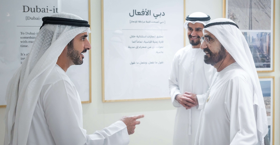 'Dubai-it' initiative to embed Dubai’s work philosophy across generations
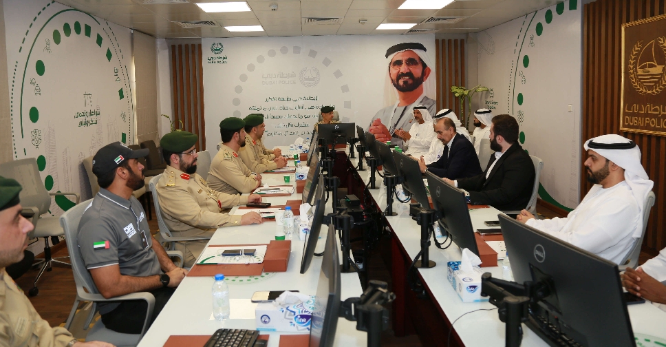 Dubai Police, RTA discuss measures to reduce heavy vehicle accidents
 Dubai Holding's 'Gift It Forward' distributes repurposed items worth AED 22 million
 UAE President calls for stronger global cooperation at G7 Summit
 Abu Dhabi offers 'innovative' precision therapy to treat advanced breast cancer
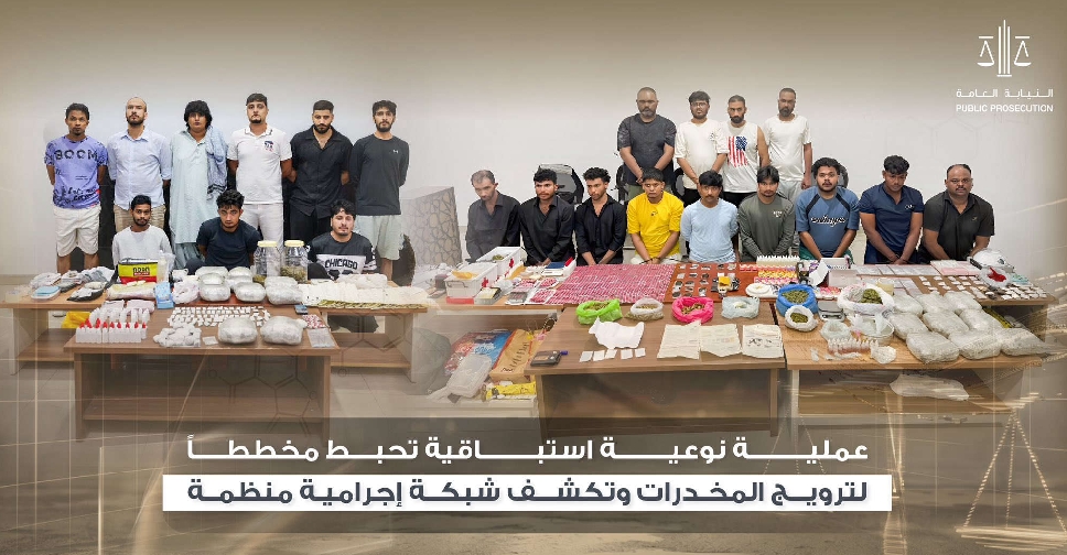 UAE foils drug distribution plot, dismantles criminal network
 Sharjah unveils projects worth AED750 million for direct road links to Dubai
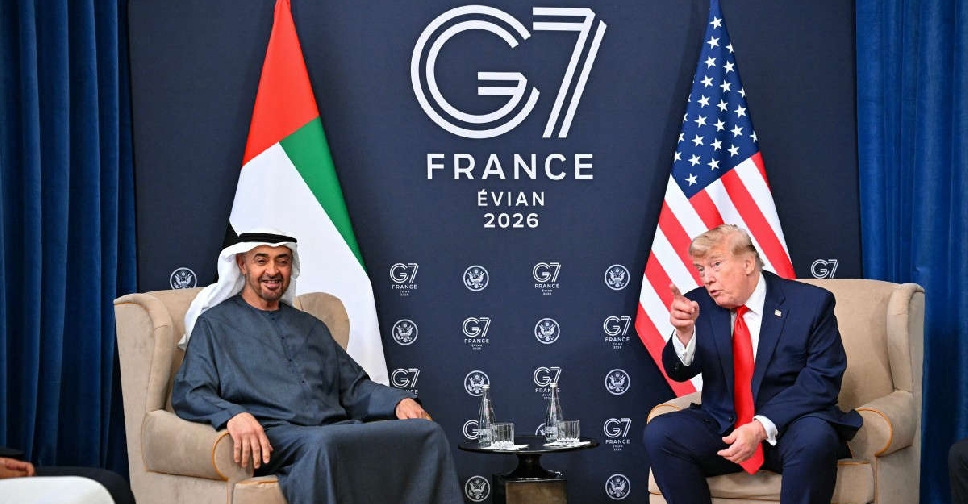 UAE President meets US President on sidelines of G7 Summit